
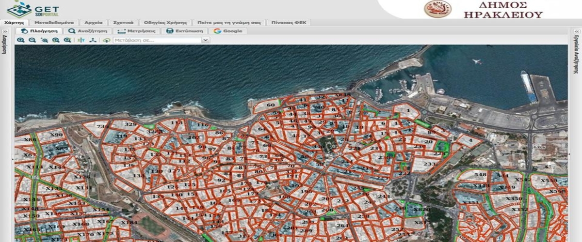
Μunicipality of Heraklion Geographical Information System (G.I.S.)
The municipality of Heraklion by the use of European funding developed a geographical information system (G.I.S.) in order to provide more efficient services to its citizens.
The goal was to provide the citizen efficient and less time consuming services for various urban planning procedures.
A dynamic system was designed with the cooperation of the urban planning administration which provided better data organization and upgraded the services offered.
A civil engineer, a lawyer and a everyday citizen is able from the comfort of his private space 24 hours a day to download online civil planning data for various matters.
In order for the municipality to acquire a unified urban planning archive for the whole urban infrastructure of the city the following G.I.S technology projects where developed:
- Geographical data database
- Development and purchase of digital platforms
- Application: Management and update of urban planning data (E-πολεοδομία)
- Application :City planning data and tables
- Application: Building permit issue and management
- Application: E-cleaning
- Application: E-map and city guide
Visit the Heraklion G.I.S. platform.